


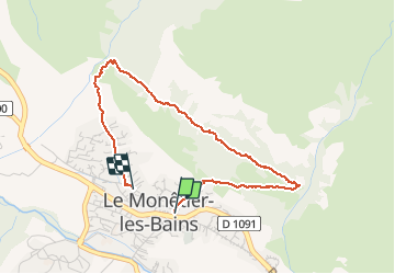


5,2 km | 12,8 km-effort

Utilisateur


Application GPS de randonnée GRATUITE
 SityTrail
IGN / Instituts géographiques
SityTrail World
Le monde est à vous
Randonnée Marche de 3,6 km à découvrir à Provence-Alpes-Côte d'Azur, Hautes-Alpes, Le Monêtier-les-Bains. Cette randonnée est proposée par Georges Mathys.
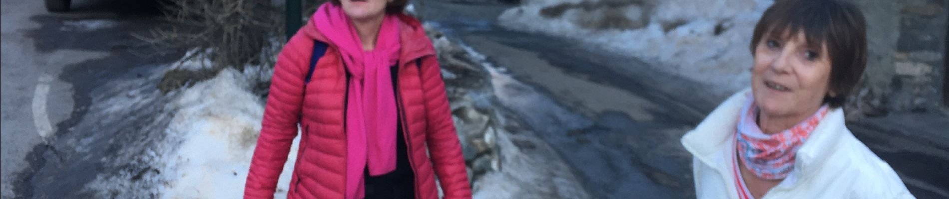
Annie_Helene_Isa_Alain_Geo_Luc


23 photos au total. Cliquez sur une photo pour les afficher toutes dans la galerie.

Marche

Ski de randonnée

Marche

Marche

Marche
Marche

Via ferrata

Marche
Marche